Software & Tools
Exhibit Builder Tool
Work scope and work plan documents include two standard exhibits, one for schedule and one for cost, which adhere to strict standards and which must be converted into accessible HTML and PDF, as part of publication. To create these exhibits for your work scope or work plan document:
- Begin by filling in the work scope exhibit template Excel file.
- Save the template file to your computer.
- Download and run the HTML conversion tool to generate an HTML file for each exhibit and accompanying CSS files to format the HTML.
- Ignore Google Drive’s warning that it cannot scan the tool for viruses and “Download anyway.”
- Run the downloaded file. If a notice appears that the PC has been protected from a potentially dangerous file, click the “More info” link and then the “Run anyway” button. Alternatively, right-click the downloaded file choose “Properties…” and check the box labelled “Unblock” on the “General” tab.
- Click each of the three buttons in the tool from top to bottom to indicate the Excel file you saved earlier on your computer, indicate the folder where you want the output HTML and CSS files, and do the conversion. Note that you must close the Excel file for the tool to complete the conversion. If you need to make small changes and regenerate the HTML files, you can leave the conversion tool running, open the Excel file, make the necessary changes, save and close the Excel file, and click the bottom tool button again to over-write your previous output.
- Send the HTML and CSS files, along with the work scope Word document to Graphics to produce an integrated document in both HTML and PDF format. If you want to convert the figures to PDF yourself, a dependable method is to open the HTML files in the Chrome browser and print them to PDF.
ArcGIS StoryMap Usage Guide
ArcGIS StoryMap Usage Guide
StoryMaps are a valuable medium for work involving geographic storytelling. They are distinct products that provide interactivity with geographic data but may not be relevant or appropriate for all projects. To assist you with creating StoryMaps, this ArcGIS StoryMap Usage Guide outlines the planning, design, writing, and review process. Several teams at the agency are available to consult on your StoryMap: Communications and Engagement, Graphics, Editorial, and Data Management. (The Data Management team administers ArcGIS Online and is in the process of developing rules and guidelines for the platform that will accompany this usage guide.)

Decide if a StoryMap is the Right Medium
Start by meeting with colleagues to determine if a StoryMap would be the best medium for your project.
- At the project initiation/kick-off meeting or during the scoping and work planning process for your project, meet with the Communications and Engagement, Graphics, and Editorial teams to discuss possible forms the work product(s) could take, guidance on writing approaches, visuals and layouts, external communications, and so forth. A StoryMap is an excellent medium for work that involves geographic storytelling with maps and includes elements such as
- heat and density maps;
- maps showing changes over time;
- before-and-after comparison maps;
- infrastructure location maps;
- equity analyses;
- maps showing public input; and
- narratives with historic geographic contexts.
- To help decide whether a StoryMap is an appropriate medium for your project, log in to your ArcGIS account and explore example StoryMaps in the ArcGIS gallery. Familiarizing yourself with the various capabilities and features of the platform will help you develop a sense of the narrative possibilities. You can also review StoryMaps created by MPO staff:
- StoryMaps are often complements to other publications or documents, but they can be the standalone deliverable of a project or task when interactivity with geographic data is essential to the presentation of information.
- StoryMaps can serve as a summary of longer publications when the summary includes interactivity with geographic data.
- Planning a StoryMap should happen concurrently with the project work whether the StoryMap is the sole deliverable or complementary to a more traditional memo or report.
Plan
Once you have established that a StoryMap is a suitable medium for your project, you should start planning.
- Prepare content that will engage viewers with varying degrees of familiarity with transportation planning topics. Viewers may be planners, policymakers, advocates, residents of the region, or the general public.
- Next, outline a narrative flow. Since you have not started your project yet, you will not know the precise story you will be telling. But having scoped out your project, you should have a rough idea of what the narrative flow will be. A good narrative includes an introduction, supporting information, and a conclusion. Based on your work plan and associated tasks, include as many details about the information you plan to include in your StoryMap as possible. This will allow you to begin to formulate the content you will need to gather to create your StoryMap.
- Next, consult the Graphics team ([email protected]) for input on a color scheme, design elements, photos, and illustrations. The Graphics team is available to assist with design choices and elements anytime during the StoryMap production process. You should expect to use the agency’s color palette, logo, and full organizational name in your StoryMap.
- Consult the Data Management team to discuss the data you need, how it should be formatted for online maps, and who will be responsible for the content you create in ArcGIS Online. Keep in mind that the data you want to use may already exist in the agency’s ArcGIS Online organization.
Gather and Structure Content
Throughout your project, you can assemble information and content that will allow you to firm up the outline and structure of your StoryMap.
- Gather the maps, images, photographs, data, and other content that will make up the multimedia elements of your StoryMap. Each item should serve the overall narrative and contribute to a cohesive story. Keep track of the sourcing information for content so you can add this to your StoryMap.
- High-quality visuals are essential for an engaging StoryMap. Select elements that are visually appealing and relevant to the story. For photographs, ensure they are high-resolution. The Graphics team can assist with identifying compelling and relevant photographs and other images. Consider how multimedia elements like audio and video can enhance your narrative.
- Begin thinking about how you want to present your visuals. StoryMaps allows for interactive maps, image galleries or timelines, map tours or slideshows, swipe images, static images or maps, and more. Consider how your images, maps, or graphics will work best as well as what data structures (layers, columns, basemaps) will be important for your visualizations.
- Adapt your narrative outline into a structure for the StoryMap. Start with an introduction and end with a conclusion and acknowledgements. The sections in between will depend on your work plan, the type of project, and your audience(s). Some typical section headers include the following:
- Timeline
- Needs Assessment
- Analysis
- Recommendations
- Next Steps
- Notes
- These section headers will typically mirror the navigation shortcuts at the top of your StoryMap, so consider what content your audience may want easy access to.
- Write concise, plain-language copy to accompany the visuals and support the narrative. Do not copy and paste text from a memo or report directly into a StoryMap without modifying it for the StoryMap medium.
- You can experiment with using draft copy in a StoryMap draft to see how it fits and aligns with the visual elements.
- Finalize your materials for the editing process.
Follow the Editing Process
Before entering content into your StoryMap, you should send the text of your StoryMap through the editing process. Follow the steps below to share all text in your StoryMap in a Microsoft Word file with [email protected]. The Editorial Team is available to consult with you if you have questions about the editorial process.
- Prepare the text in the Microsoft Word General Template using the header styles in the template. In addition to the body text, include any text that will appear in sidebars, floating panels, or other positions within the StoryMap. Include everything you can in the template (text, URLs, images, and other media identifiers and placement, etc.). Include placeholders where maps or interactive features would be placed, along with ALT text describing them. Provide links to give context and allow the editor to review linked content. Tables may be included in the Word file. If the tables are large, please include a placeholder in the Word file and send the Excel file as a separate document to Editorial. Hyperlinks may be added to words or phrases in the text to connect to webpages with more information if desired. For material that requires a citation, add the citation within the StoryMap (rather than only providing a link to another site). Place any sources, credits, and attributions at the end of the StoryMap.
- Follow the standard editorial procedures to produce a client review draft. See Quick Guide #1: Editorial Review for a refresher.
- Transfer the approved text from the Microsoft Word file that went through Editorial into the StoryMap format. Keep the Microsoft Word file for use in the later steps described below.
Create
With your content organized and structure planned, it’s time to construct the StoryMap.
- Start by reviewing interactive elements to identify those that suit your content and the goals of your project. Different features offer different layouts and functionalities. Choose features with elements that enhance the story you want to tell. For example, a Sidecar feature may work well for a narrative-heavy story with supporting visuals, while a Map Tour may be ideal for showcasing a series of locations.
- Add layers, filters, labels, and interactive features to customize maps. For example, you can add pop-up information that provides additional context when users click on specific locations. Ensure maps are accurate, aesthetically colored, and clearly labeled. Check for authoritative data layers in the agency’s ArcGIS organization before uploading your own (i.e., municipalities, MBTA stations).
- Ensure that the overall design of the StoryMap aligns with your project’s goals. This includes the choice of colors, fonts, and layouts. The design should be visually appealing and enhance the readability and accessibility of the content. Consistency in design across all sections of the StoryMap helps create a cohesive experience for the audience.
Preview, Test, Review
- As you build your StoryMap, regularly preview it on a laptop, phone, and tablet to see how it looks and functions on different devices. This will help you catch formatting problems, broken links, or map elements that don’t display correctly.
- Content should not be made public until it is ready to publish. All agency staff have access to an ArcGIS account to view content. If you need to share content with stakeholders outside of the agency, consult with the Data Management team; they will help determine the best way to transmit the information.
- Ensure that all your maps and data have the proper permission settings. All public data require metadata.
- When it’s time for the project principal, your supervisor, or another internal colleague to review, send a link to your StoryMap and the Microsoft Word file with your StoryMap text. Ask the reviewers to make their edits in the Word document using track changes. Return a redlined version of the Word document to Editorial for final approval. If reviewers have suggestions for changes to maps, images, or interactive features in the StoryMap, they should add comments next to the placeholders in the Word file.
- Once internal review is completed and edits are incorporated, if your StoryMap additionally needs to be reviewed by the Office of Transportation Planning (OTP) at MassDOT or a partner agency or municipal client, send it to the appropriate contact using the guidance you received from the Data Management team, along with the corresponding Microsoft Word file. Again, return a redlined version of the Word document to Editorial for final approval.
- Editorial and Graphics will proofread the final StoryMap and make any final edits in the StoryMap platform.
Publish
- Once your reviewers have approved your StoryMap and it has been finalized by the Editorial team, it’s ready to publish. Coordinate with the Data Management team to have them publish your content for you.
- The Communications and Engagement team can work with you to promote the StoryMap on MPO channels
Archive Your Work
There are two files to archive for each StoryMap:
- The Microsoft Word document containing the final edited text of a StoryMap is the official record of the work. If a member of the public requests it, it will be used to create an on-demand accessible PDF version.
- You should also download a version of the StoryMap as a PDF document for record-keeping purposes.
StoryMap Samples
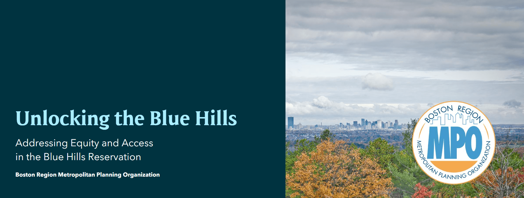
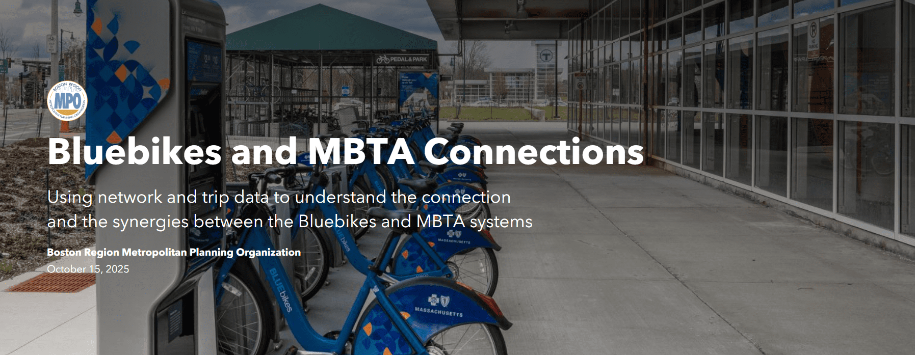
Below are sample StoryMaps that will give you an idea of what you can do if you would like to develop your document as a StoryMap. To prepare for a StoryMap, you should determine a budget and begin your discussion with members of all involved teams at the very beginning of the project planning process.
Helpful Resources from Esri / ArcGIS / StoryMaps
- Planning and Outlining Your Story: How to Set Yourself Up for Success
- Best Practices for Telling an Effective Story
- These 11 Verbs Will Make You a More Effective Storyteller
Related Articles
Inventory
Reserve a Laptop, Projector, Mobile Hotspot, or the Mobile Presentation System
Laptops, Projectors, and Mobile Hotspots
The agency owns several spare Windows laptop computers. Agency-owned spare laptops are intended for agency work and are specifically available for use for presentations or other out-of-office needs when your laptop is unavailable.
The Windows laptops are used primarily for presentations, for staff to use if their laptop needs repair, or for fieldwork. For access to the Windows laptops, the projectors, and the mobile hotspots, contact a member of the Information Technology Group. Reservations for a laptop, projector, or mobile hotspot may be made in the Google calendar for the appropriate device. Letting a member of the IT staff know in advance of the need for the equipment for an upcoming meeting is always helpful, especially in resolving scheduling conflicts or ascertaining that the equipment is functional and available.
To reserve a laptop, one of three projectors, or one of three mobile hotspots, sign in to your Gmail account and open your calendar. Select the plus (+) sign next to other calendars and select browse resources. You can then add the laptops, projectors, and mobile hotspots, to your calendar. You should now see the calendars listed for the laptops, projectors, and mobile hotspots.
Staff members are expected to transport laptops and projectors in a carrying case at all times and to secure laptops and projectors under lock and key whenever leaving them unattended, including when leaving them in the office after hours.
Mobile Presentation System
To reserve one of the two mobile presentation systems, create a calendar invite in Gmail and invite the mobile presentation system to your meeting that you are creating by typing “mobile presentation system” into the “Guests” section of your calendar invite, or select Rooms and select one of the Mobile presentation systems. Mobile presentation systems come equipped with a large screen attached to a mobile cart, a laptop, a wireless keyboard and mouse, and an external webcam.
Usage Tips
- Treat the system as you would a conference room, and reserve it by inviting it to your meeting.
- The system is tall and somewhat heavy. Please follow instructions and use care when moving it.
- The system is designed to be as wireless as possible and requires only a single connection—to an electrical outlet.
- Please be considerate of your office neighbors; please keep the volume low when hosting a hybrid meeting.
- The Mobile presentation carts are stored in TMD and outside the small conference room areas.
Access the Miro Account
The agency has a Miro license for use with Zoom. Miro is a web-based collaboration tool that functions as a digital whiteboard. It is designed for use during Zoom meetings for brainstorming, project planning, and documenting discussions.
Before starting a Zoom meeting, make sure to update Zoom on your computer to fully utilize the Miro app.
Once your Zoom meeting has begun, click on Apps in the Zoom toolbar and select Open under Miro. Click Sign in and use the credentials provided below. You should now be able to use Miro alongside Zoom.
Username – [email protected]
Password – CTPS2150
Access and Use Google Workspace Tools
To access Google Workspace Learning Center, click the link below.
Google Workspace Learning Center
When the Google Workspace Learning Center page opens in your web browser select Learn By Product. In the learn by product section, you will see various Google products. Select the product you would like to learn more about. Once you have selected your product, you will be taken to a new web page. Here you should see a guide about the Google product you would like to learn more about.
If you have further questions, contact the IT Group at [email protected].